Aaron Gemmill: Planned Surface Changes
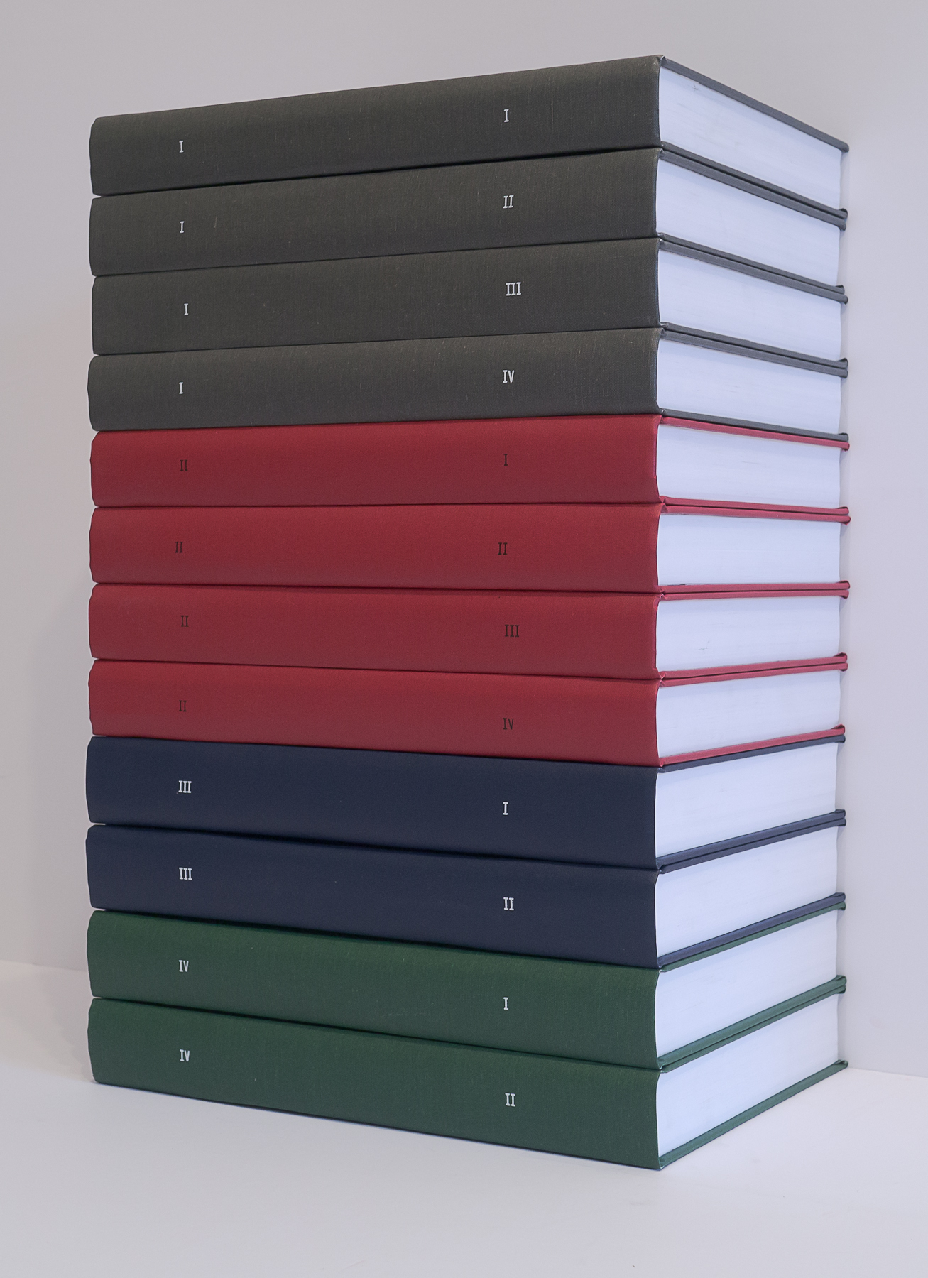
Ten books, total of 32 volumes
Black and white, hardbound, variable page counts
11 × 9 × 2 inches each
Edition of 5 + 1 AP
Planned Surface Changes, Books I–X (2014–2015) is a large-scale, recursive reconfiguration of the Metropolitan Transit Authority’s bus maps of New York’s boroughs into a set of iterative digital drawings, organized into multiple books. The ten books of Planned Surface Changes each comprise between two and four volumes, for a total of 32 volumes. Books I–II use MTA map data from Brooklyn; III–IV from Manhattan; V–VI from Staten Island; VII–VIII from the Bronx; and IX–X from Queens.
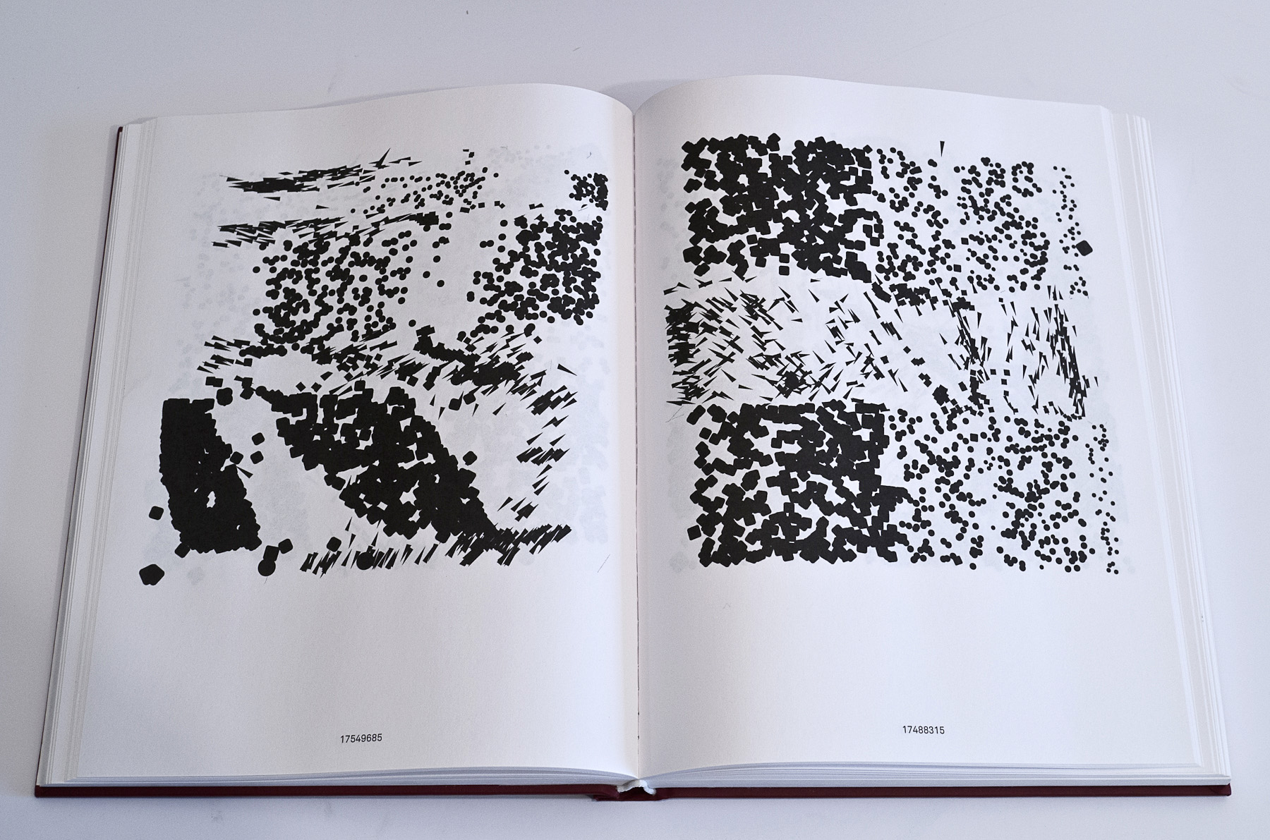
The basic graphic material of the books consists of wayfinding symbols extracted from MTA bus maps. Removed from the context of the map and devoid of signifying color information, this material is reduced to the most basic or generic forms (squares, circles, triangles, etc). The first image preserves the geographic arrangement of the signs in the map. Subsequent images are recursively generated by applying Adobe Illustrator’s “align,” “distribute,” “scale,” and “rotate” layout functions to the preceding image.
Each successive volume contains a new set of drawings ordered by way of a discrete system. For example, Book I contains 1,800 drawings from the Brooklyn bus map, in split chronological order (the first 900 drawings run through the odd pages of the four volumes, and the latter 900 are on even pages). Book II is generated from the contents of Book I, but orders the images by value (light to dark), rather than chronologically. Book III then contains 2100 drawings from the Manhattan bus map in split chronological order. Book IV is generated from Book III, but orders the images according to file size. These multiple systems offer an expansive, data-driven, and yet surprisingly expressive approach to mapping as artistic material.
Planned Surface Changes is included in the collections of the Museum of Modern Art and the Brooklyn Museum, New York.